

Shapes let you draw regions and lines directly on the map — delivery zones, service areas, walking routes, boundaries.
Draw a shape
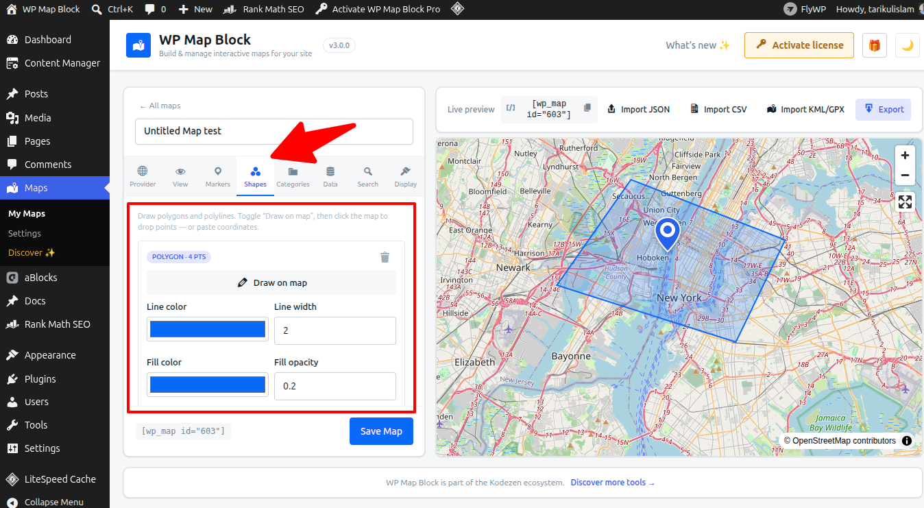
- Open the Shapes panel and choose Polygon (an area) or Polyline (a line/route).
- Click on the map to drop each point; close a polygon by clicking the first point again.
- While drawing, scroll/click zoom is paused so you don’t move the map by accident — use the + / − buttons.
Style & edit
- Set fill and stroke colour and opacity.
- Drag a point to move it, or add/remove points to refine the shape.
- Give a shape a label that shows in a popup.
Delivery zone idea: draw a polygon around your service area and add a popup explaining delivery terms for that region.
Shapes render behind markers, so pins inside a zone stay clickable.