

Already have your locations in a file? Import them instead of adding markers one by one.
Supported formats
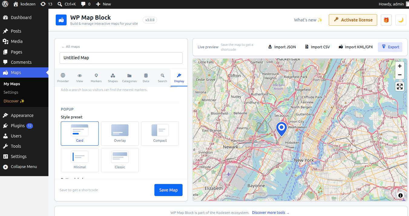
- CSV — columns for name, latitude, longitude (and optional description/link).
- KML & GPX — from Google Earth, GPS tools, etc.
- GeoJSON / JSON — standard geospatial data.
Import steps
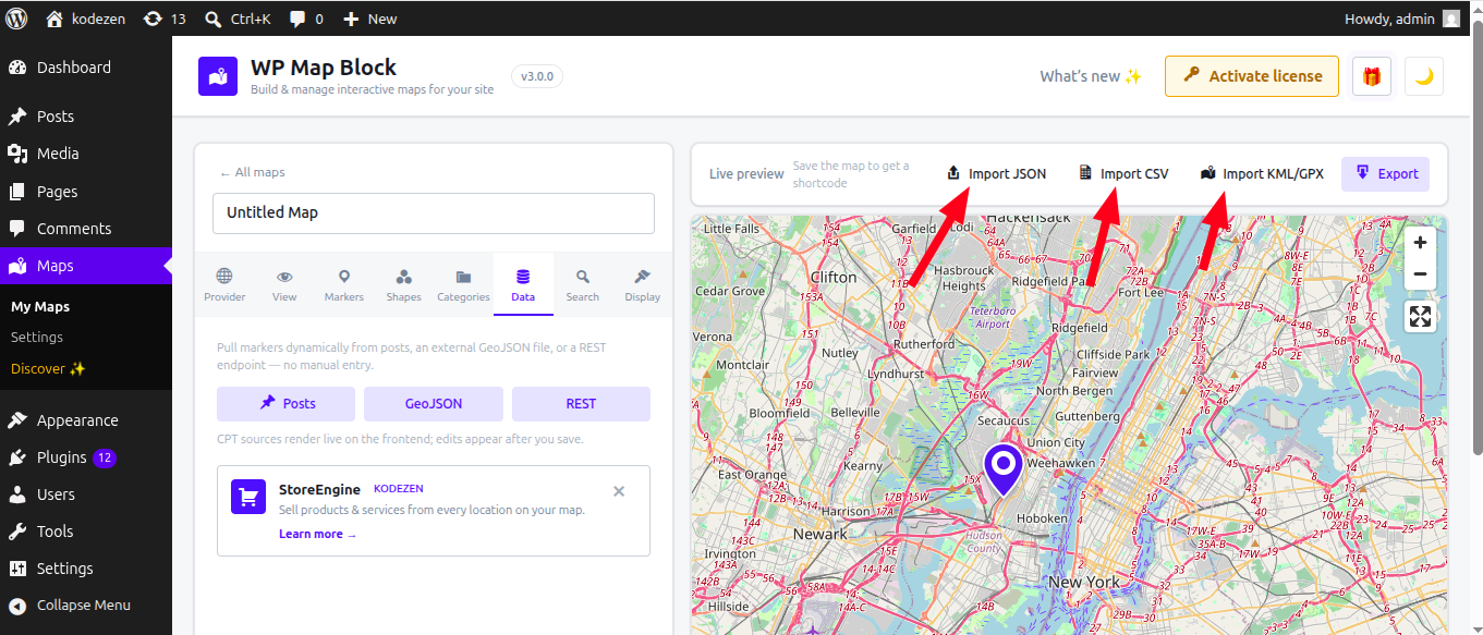
- Open a map and go to the Data tab.
- Choose Import and select your file.
- Confirm the detected columns/fields map to name, latitude and longitude.
- Import — the markers appear on the map, ready to edit.
CSV tip: include a header row with clear column names (e.g. name, lat, lng) so fields map automatically.
To move a whole map between sites, see Export a map.